
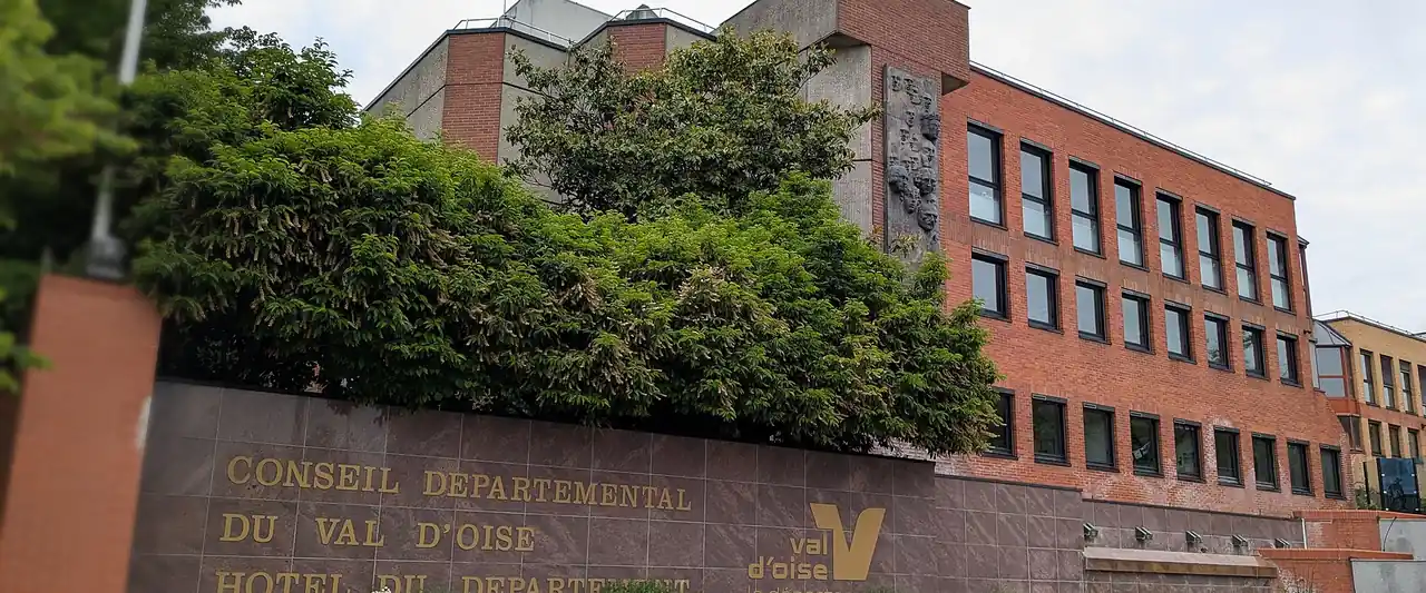
Planning, development and land
Public developers and agencies, State services and the intercommunal authorities in charge of economic development.
Photo: Sebleouf · CC BY-SA 4.0 (new tab) · Wikimedia Commons (new tab)
Val-d'Oise figures
- local urban plans published
- 173Source : Géoportail de l'urbanisme, état au 02/10/2026
- brownfield sites listed
- 112Source : Cerema, Cartofriches, juin 2026
- municipalities in a regional aid zone
- 4Source : ANCT, zones d'aide à finalité régionale 2022-2027
Figures for this field : Large sitesBusiness parksYour formalities
Key players 13
-

Cerema
Public body
-

Cergy-Pontoise Aménagement
Public body · Cergy
-

Communauté d'agglomération de Cergy-Pontoise
Public body · Cergy
-

Communauté d'agglomération Plaine Vallée
Public body · Montmorency
-
Communauté d'agglomération Roissy Pays de France
Public body · Roissy-en-France
-

Communauté d'agglomération Val Parisis
Public body · Beauchamp
-

Direction départementale des territoires du Val-d'Oise (DDT)
Public body · Cergy
-

DRIEAT Île-de-France
Public body · Cergy
-

Établissement public foncier d'Île-de-France
Public body
-

Grand Paris Aménagement
Public body
-

Parc naturel régional du Vexin français
Public body · Théméricourt
-
Préfecture du Val-d'Oise
Public body · Cergy, Pontoise, Argenteuil, Montmorency
-

SEMAVO – Société d'économie mixte d'aménagement du Val-d'Oise
Semi-public body · Cergy