

Offices
Rental
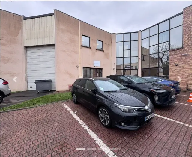
TO LET ACTIVITY PREMISES 203 m²
Montmagny (95360)
Complete profile: free account
203 m² €22,300 excl. VAT/m²/year
95360
Set up your business in Montmagny (95360), Val-d'Oise: 8 offers covering offices, warehouses, industrial units or land.
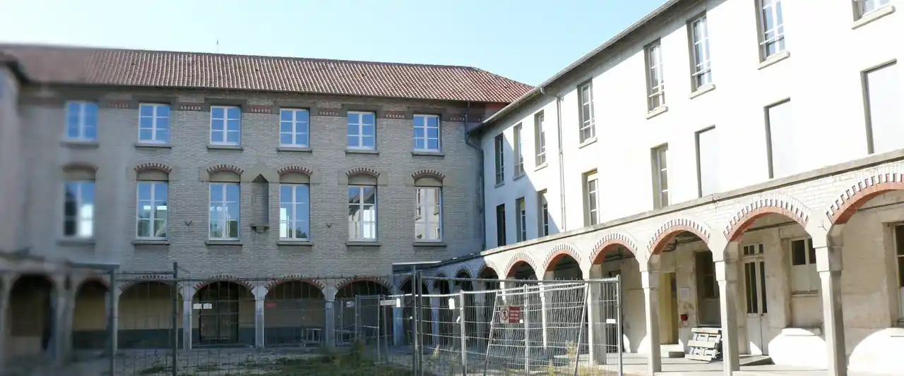
Photo: Claude Villetaneuse · CC BY-SA 3.0 (new tab) · Wikimedia Commons (new tab)

Communauté d'Agglomération Plaine Vallée Canton Deuil-la-Barre INSEE code 95427
Your CEEVO contact
A CEEVO adviser supports your location project, free of charge.
Montmagny (95360) is a municipality in Val-d'Oise (INSEE code 95427), located in the canton of Deuil-la-Barre. It belongs to the intercommunality “Communauté d'Agglomération de la Plaine Vallée”. It has 15 105 inhabitants, of whom 22 % are under 15. The working population numbers 6 699 people, of whom 5 963 are in employment; the estimated unemployment rate is 13,7 %. 1 033 establishments are recorded (sources: INSEE, CEEVO). 1 business park (ZAE) is recorded in the area. The “local employment” indicator is 2 123. The average income per tax household is 28 507 €. The business property tax rate (CFE, excluding ZAE) is 27,98 %. Published offers can be viewed in the catalogue; the full listing is reserved for registered users.
The key facts about Montmagny, compared with Val-d'Oise and Île-de-France.
Montmagny against the reference areas. Each chart gives its values, source and reference year.
Population
| hab. | |
|---|---|
| Montmagny | 15,105 hab. |
| Average town: CA Plaine Vallée | 10,395 hab. |
| Average town: Val-d'Oise | 7,004 hab. |
Source : Insee, population census, RP 2023. Population of an average town: total divided by the number of towns.
Average income per tax household
| € | |
|---|---|
| Montmagny | 28,507 € |
| CA Plaine Vallée | 40,187 € |
| Val-d'Oise | 32,489 € |
| Île-de-France | 42,208 € |
Source : DGFiP, income tax by local authority (IRCOM), IRCOM 2025. Groups of towns: average of the towns weighted by population; Val-d'Oise and Île-de-France: official values.
Unemployment rate
| % | |
|---|---|
| Montmagny | 13.7 % |
| CA Plaine Vallée | 10.7 % |
| Val-d'Oise | 11.8 % |
| Île-de-France | 11.2 % |
Source : Insee, population census, RP 2023. Groups of towns: average of the towns weighted by the active population; Val-d'Oise and Île-de-France: official values (ages 15 to 64).
Share of under-15s
| % | |
|---|---|
| Montmagny | 22.0 % |
| CA Plaine Vallée | 19.8 % |
| Val-d'Oise | 21.2 % |
| Île-de-France | 18.7 % |
Source : Insee, population census, RP 2023. Groups of towns: average of the towns weighted by population; Val-d'Oise and Île-de-France: official values.
Establishments per 1,000 inhabitants
| Establishments per 1,000 inhabitants | |
|---|---|
| Montmagny | 68.4 |
| CA Plaine Vallée | 86.9 |
| Val-d'Oise | 79.4 |
| Île-de-France | 118.5 |
Source : Insee, business demography (SIDE), 31/12/2024. Active establishments relative to population; Val-d'Oise and Île-de-France: official totals.
CFE rate (business property tax)
| % | |
|---|---|
| Montmagny | 28.24 % |
| CA Plaine Vallée | 28.24 % |
| Val-d'Oise | 25.56 % |
Source : DGFiP, local direct taxation (REI), REI 2025. Town rates; groups of towns and Val-d'Oise are the simple average of the towns (no official overall value).
Premises connectable to fibre
| % | |
|---|---|
| Montmagny | 96.6 % |
| CA Plaine Vallée | 98.0 % |
| Val-d'Oise | 98.2 % |
Source : Arcep, broadband and ultra-fast broadband observatory, Q2 2026. Connectable premises relative to all premises; groups of towns: sum of the towns.
Census unemployment rate (declared by census respondents, ages 15-64): it is higher by construction than Insee's localised unemployment rate (annual average, ILO definition), which is not available at municipal level.
Breakdown of establishments
| Breakdown of establishments | % | |
|---|---|---|
| Tertiary | 858 | 83.1 % |
| Industry | 28 | 2.7 % |
| Construction | 147 | 14.2 % |
Source : CEEVO town database, from Insee (SIDE), 31/12/2024. Active establishments by sector.
Overall 2025 rate applicable in the municipality: municipality, intercommunal authority, syndicates, special equipment taxes, GEMAPI tax and special annual additional tax (CFE: outside business zones) — DGFiP, REI 2025.
Sources : CEEVO town database ; listings published in the CEEVO catalogue on 11/10/2026.
Freely licensed photographs from Wikimedia Commons: author, licence and link under each picture.
Premises available in Montmagny from Val-d'Oise commercial agents.
Montmagny (95360)
Complete profile: free account
203 m² €22,300 excl. VAT/m²/year
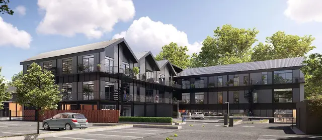
Montmagny (95360)
Complete profile: free account
8,320 m² €155 excl. VAT/m²/year
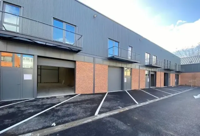
Montmagny (95360)
Complete profile: free account
532 m² €170 excl. VAT/m²/year
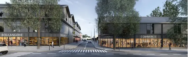
Montmagny (95360)
Complete profile: free account
356 m² à partir de 188 155 €
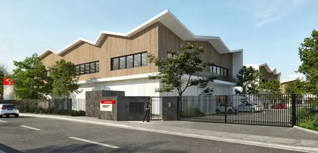
Montmagny (95360)
Complete profile: free account
160 m² €110 excl. VAT/m²/year
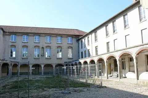 Photo of the town · Claude Villetaneuse · CC BY-SA 3.0
Montmagny (95360)
Complete profile: free account
526 m² €120 excl. VAT/m²/year
6 of 8 listings shown See the 8 listings in Montmagny
Subscribe : Business premises and land in Montmagny (95360) All RSS feeds
Browse by property typeOffices (8)Industrial units (6)Other premises (1)
2,522 €/m² median price per m², over 2021-2025
Half of the sales are between €1,413 and €2,925 per m² (quartiles). Median surface sold: 113 m².
Comparison: 21 % above the Val-d'Oise median (€2,090 per m² over 2021-2025).
| Year | Median price (€/m²) | Sales |
|---|---|---|
| 2021 | fewer than 5 sales | < 5 |
| 2022 | fewer than 5 sales | < 5 |
| 2023 | fewer than 5 sales | < 5 |
| 2024 | 2,737 | 5 |
| 2025 | fewer than 5 sales | < 5 |
567 €/m² median price per m², over 2021-2025
Half of the sales are between €476 and €711 per m² (quartiles). Median surface sold: 300 m².
Comparison: 33 % above the Val-d'Oise median (€426 per m² over 2021-2025).
| Year | Median price (€/m²) | Sales |
|---|---|---|
| 2021 | fewer than 5 sales | < 5 |
| 2022 | fewer than 5 sales | < 5 |
| 2023 | fewer than 5 sales | < 5 |
| 2025 | fewer than 5 sales | < 5 |
Actual sale values, excluding rents. One sale = one transaction for a single premises, excluding housing, off-plan sales and bundled sales; outliers removed. The price includes the underlying land.
Source: DVF, DGFiP / Etalab. Sales from 2021 to 2025 (latest transaction on Dec. 31, 2025, files published on May 18, 2026). No median is published below 5 sales (statistical confidentiality).
| Site | Status | Type | Land unit area (m²) |
|---|---|---|---|
| 95427_86 | Potential brownfield | Unknown type | 242 |
The area is that of the land unit (all parcels of the same owner), not of the brownfield itself: it is not an available surface.
Cartofriches, the national brownfield map (Cerema)
Local urban plan (PLU), approved on Feb. 4, 2026
Read the document on the Géoportail de l'urbanisme
Grants, taxes and costs: what these schemes offer
Sources: Cerema, Cartofriches (updated April 7, 2025); Géoportail de l'urbanisme; ANCT; AFR 2022-2027 zoning.
| Type of premises | Total 2016-2024 (m²) | Yearly average (m²) |
|---|---|---|
| Offices | 1,637 | 182 |
| Warehouses | 653 | 73 |
| Retail and trade | 3,231 | 359 |
| Total business premises | 5,521 | 613 |
Floor area of construction starts, by actual date. The latest years are incomplete (late reporting) and 2025 is not available. Authorised floor areas are not published: their series is not reliable.
Source: SDES, Sitadel database (September 2026 file), premises started from 2016 to 2024.
Employees under the general social-security scheme, excluding agriculture and household employees.
Source: Urssaf, open.urssaf.fr (ODbL licence), private-sector headcount at 31 December 2025.
Rounded orders of magnitude: theoretical travel times without traffic; population living in France.
Deuil - Montmagny · 0.6 km as the crow flies
Lines: Transilien H
Sources: implantation95.com calculation from IGN Géoplateforme isochrones (network of Oct. 1, 2026), Insee 2023 legal populations and Filosofi 2021; stations: Île-de-France Mobilités (updated Oct. 2, 2026).
The full “Education, higher education and research” section
Sources: Ministry of Education, education directory (2 Oct 2026); Onisep; Ministry of Higher Education, regional atlas; Insee, permanent facilities database 2025 (nurseries).
All sport in Val-d'Oise: map, clubs, athletes
Sources: Ministry of Sport, census of sports facilities (Data ES); Paris 2024, Games preparation centres; INJEP, licences and clubs; Wikidata.
Sources: IGN, BD TOPO (hospitals and clinics, 19 June 2026); Insee, permanent facilities database 2025 (health centres, emergency departments, practitioners and pharmacies).
Source: Insee, permanent facilities database 2025 (facilities at 1 January 2025).
See on the map : shops and public services
Source: IGN, BD TOPO (markets, shopping centres, waste centres, water and sanitation, 19 June 2026).
Sources: Arcep, ANFR, Agence ORE, Enedis and RTE open data; reference years given on the section page.
Source: open data from the network operators (Enedis, GRDF, RTE). A missing value is not published (statistical confidentiality).
Ecology and transition · Check the risks at an address (Géorisques)
Suppression du passage à niveau n°4 de Deuil-la-Barre (RD311)
en travaux engagement de la seconde phase (voie de contournement de la RD311) : début 2026
Conseil départemental du Val-d'OiseSource : Suppression du passage à niveau n°4 de Deuil-la-Barre (RD311) (new tab)
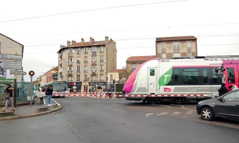 © Montmagny
Roadworks and transport
« The creation of the new road, between the Deuil-Montmagny level crossing and the rail bridge, is ... »
Translated from French
 © Montmagny
Local government
« Here are the official results of the second round of the municipal elections on Sunday 22 mar... »
Translated from French
Headlines and short quotations are reproduced as published by the local authorities, in their original language. The full article is on the source's website.
Sources : official website (new tab), checked on 02/10/2026
Contacts for Montmagny: town hall, canton, constituency and département.
Secure contact
Log in to see the elected officials and local representatives of this municipality.
Are you concerned? Update this page
Arrow keys to browse, Enter to open, Esc to close